Solutions
Explore our industrial solutions that will surely enhance the efficiency of your control.
Advantages of Viatec Service
Full Cycle
We provide a full cycle service: from system implementation to maintenance and custom software enhancements.
Professional Team
We are a team of professionals united by a common goal — to offer the best service on the monitoring equipment market.
#1 in Moldova
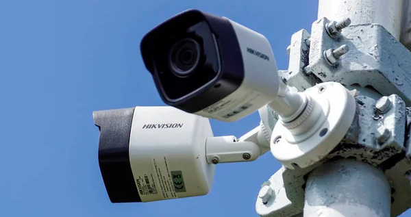
We are official representatives of top global brands like Hikvision and Galileosky, maintaining leadership in the market.
Individual Approach
Personal assistance and consultations. Training for a complete understanding of “how it works.”
Innovation
The ability to develop and deliver any solution in the shortest time possible. We are ready to help.
Always in Touch
Today, the Viatec Service team can provide fast and quality responses across the entire country.
What tasks can you solve?
Our Partners

The RO e-Transport integrated electronic system has been implemented in Romania for monitoring the road transport of goods with high fiscal risk. This system enables real-time tracking of goods with major fiscal risk within Romania, including: transport of goods purchased and delivered within the EU community, transport of goods subject to customs operations, as well as transport of goods between two locations within the country.
News and Articles

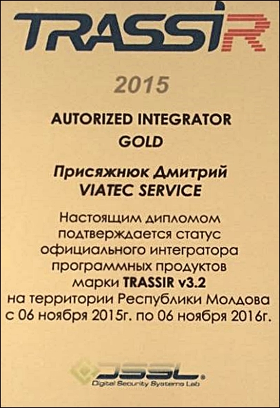
Certificates
